Orbetello is a small, quiet town with a special position on a spit of land in the middle of the beautiful lagoon of 26 km 2, where the road continues on the artificial dam that leads to Monte Argentario.
This lagoon is divided into two parts, the Ponente lagoon in the north closed by the isthmus of the tombolo of Giannella, and the Levante Lagoon to the south with the Feniglia tombolo.
Orbetello wetland is known for its biodiversity, a place of passage for migratory birds such as flamingos, white herons and ash herons, etc.
What to see in Orbetello
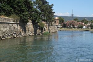
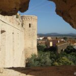
The Etruscan origins of the city are sometimes found in some parts of the ramparts, which were later redesigned, especially during the Spanish domination that expanded the enclosure. From the latter there are several bastions. You can access the historic center by Porta Nuova pierced by three passages. Along the enclosure, the old Guzman powder was built by the Spanish at the end of the 17th century, now home to the archaeological museum.
On either side of the enclosure are also remains of the former seaplane airport.
The long shopping street of Orbetello runs through the historic centre, passing by Piazza Plebiscito and Piazza Garibaldi. On the latter stands the Spanish Palazzo del Governatore (17th century). The old church of Santa Maria delle Grazie preserves a 15th century fresco from the Sienese school.
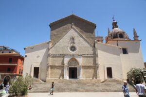
On Piazza della Repubblica stands the Cathedral of Santa Maria Assunta of Romanesque origin, restructured by the Orsini in 1375. It would be according to some beliefs built on the podium of an ancient temple. Opposite is the old Umberto I barracks, which preserves the remarkable Talamone’s Fronton, from an Etruscan temple, with its representation of the myth of the Seven against Thebes.
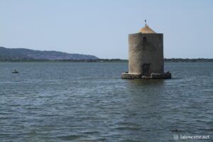
At the point on which the city is built, near the road built by the grand duke Leopold II in 1842 that crosses the lagoon, is the symbol of Orbetello. It is a pretty circular mill that emerges from the water, the only of the nine windmills that were originally built by the Sienese in the fifteenth century, restored by the Spanish after 1557 when they took control of the territory.
This area also contains the remains of Etruscan polygonal walls from the 4th century BC.
The lagoon is a fishing site, and the fishermen’s cooperative La Peschereccia founded in 1946 has become an institution, offering fish sales and tastings.
The “Remus” bus offers boat tours on the lagoon.
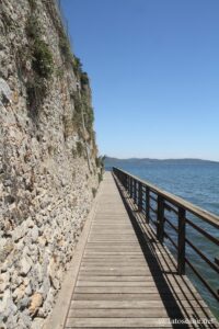
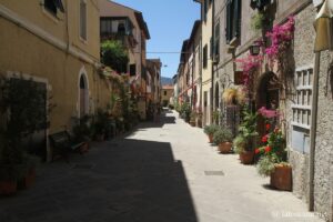
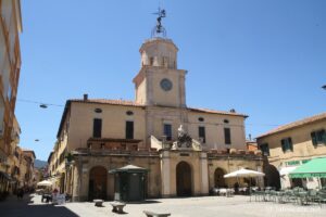
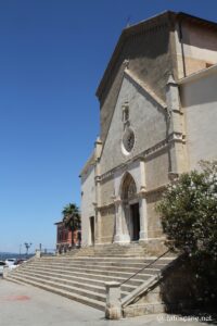
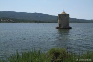
Orbetello Lagoon and surroundings
Several hikes can be done around the Orbetello Lagoon.
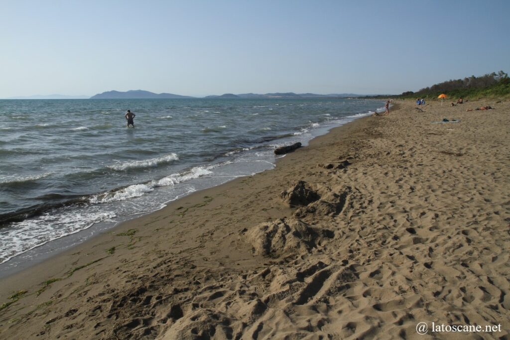
On both sides of the lagoon, the lagoon is closed by a isthmus, with the beaches of Feniglia and Giannella which are two long comfortable sandy beaches whose bottom slopes very gently, pleasant for families with children.
The complete ring of the Levante lagoon is almost 19 km long, a completely flat path that runs along the lagoon with its bike path.
Wetlands provide habitat for pink flamingos that winter here from fall to spring or white herons.
The Natural Reserve of the Dune Feniglia is one of the most interesting areas, on the tongue of land that closes the southern side of the lagoon, a beautiful nature reserve, which can be crossed by bike or on foot.
From Orbetello Scalo a path leads to the ruins of the monastery Sant’Angelo Rovinato, at 250 meters above sea level, with a view facing the lagoon.
South of the lagoon, Ansedonia is located at the foot of a hill where was built the Roman city of Cosa, now archaeological park where to discover its ruins.
On the south-eastern slope of this relief, you can see the Tagliata Etrusca and the Grotta Spaco della Regina (Queen’s Cleft). The first is actually a Roman building to protect the harbour from silting, and the second is older.
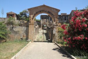
In the northern corner of the lagoon, the Forte delle Saline (now private property) is located at the mouth of the river Albegna, near ancient salt mines, built during the Sienese period in the 15th century, transformed with the Spanish in the 16th century, Acting as customs.
Some activities in the region
Where is Orbetello, map
If you see this after your page is loaded completely, leafletJS files are missing.
Links and sources
- General information: en.wikipedia.org
- Municipality website: orbetelloturismo.it
- Travel portals and blogs: www.tuttomaremma.com, www.invacanzaallargentario.it
Articles about the Maremma
- Thermal baths of Saturnia
 The Thermal hot spring of Saturnia (Terme di Saturnia in Italian) are one of the most famous sites in Tuscany, with its natural hot water baths, formed by beautiful limestone ...
 - Maremma
 The Maremma is a vast historical area of Tuscany, a charming territory with a pleasant and welcoming atmosphere. Much of the region runs along the Tuscan coast for almost 100 ...
 - Natural Park of Maremma
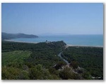 The Maremma Natural Park, also known as the Uccellina Park, stretches over almost 10,000 hectares along the coast, with nearly 25 km of coastline from Principina a Mare to Talamone ...
 - Castiglione della Pescaia in Tuscany
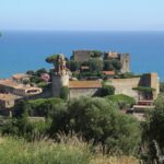 Castiglione della Pescaia is one of the most beautiful villages in Tuscany and enjoys a privileged position on the coast between large sandy beaches preceded by beautiful pine forests. The ...
 - Monte Argentario
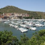 The Monte Argentario is a very beautiful site to the south of the Tuscan coast, in the province of Grosseto. It attracts visitors for its various features: the marine environment, ...
 - Area del Tufo – Tuff Valley
 In the south-east of the Maremma, the hills of the Fiora are at the edge of Tuscany and very close to Lazio. They are crossed by the Valle del Tufo ...
 - Massa Marittima in Tuscany
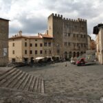 Massa Marittima is a historic village located in the heart of the Maremma in the province of Grosseto, inland contrary to what its name would suggest, 20 minutes far from ...
 - Pitigliano
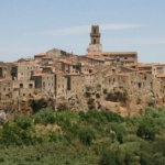 Pitigliano is one of the most impressive sites in the Maremma, in the Tuff Valley in southern Tuscany. This village crowns a striking rock of tuff overlooking the green and ...
 - Talamone, coastal village in Maremma
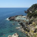 At the southern end of the Natural park of Maremma, Talamone is a small village perched on a promontory overlooking the western end of the small homonymous gulf, also tourist ...
 - Tarot GardenAt the foot of the village of Capalbiole, the Tarot Garden is an extravagant place created by the French-American artist Niki de Saint Phalle inspired by Gaudí’s Parc Güell in ...
- Piombino, port of Tuscany
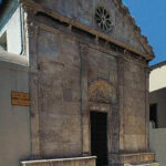 Piombino is a small town of almost 34,000 inhabitants at the foot of the homonymous promontory and near the ancient etruscan Populonia , facing the islands of the Tuscan Archipelago, ...
 - Ansedonia and roman Cosa in Tuscany
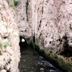 South of the Orbetello lagoon, Ansedonia is a seaside resort with two sandy beaches, at the foot of a relief where the Roman settlement of Cosa was built. Of the ...
 - Magliano in Toscana, in Maremma
 Magliano in Toscana is a pretty village in the Maremma region, which preserves medieval walls, a charming historic center, and renowned restaurants throughout the area. What impresses most are its ...
No Comments Yet